See it early
Each river is read against its own 29-year record, so a rise shows up as unusual for the date, days before it becomes a flood.
Brahmaputra at Dhubri, this year over the 1997 to 2025 range. GloFAS via Open-Meteo.
About VarunaWatching 18 border rivers right now
Trinetra turns river levels, heat, sea state and the low sky into one calm picture for the people who keep India's frontiers safe.
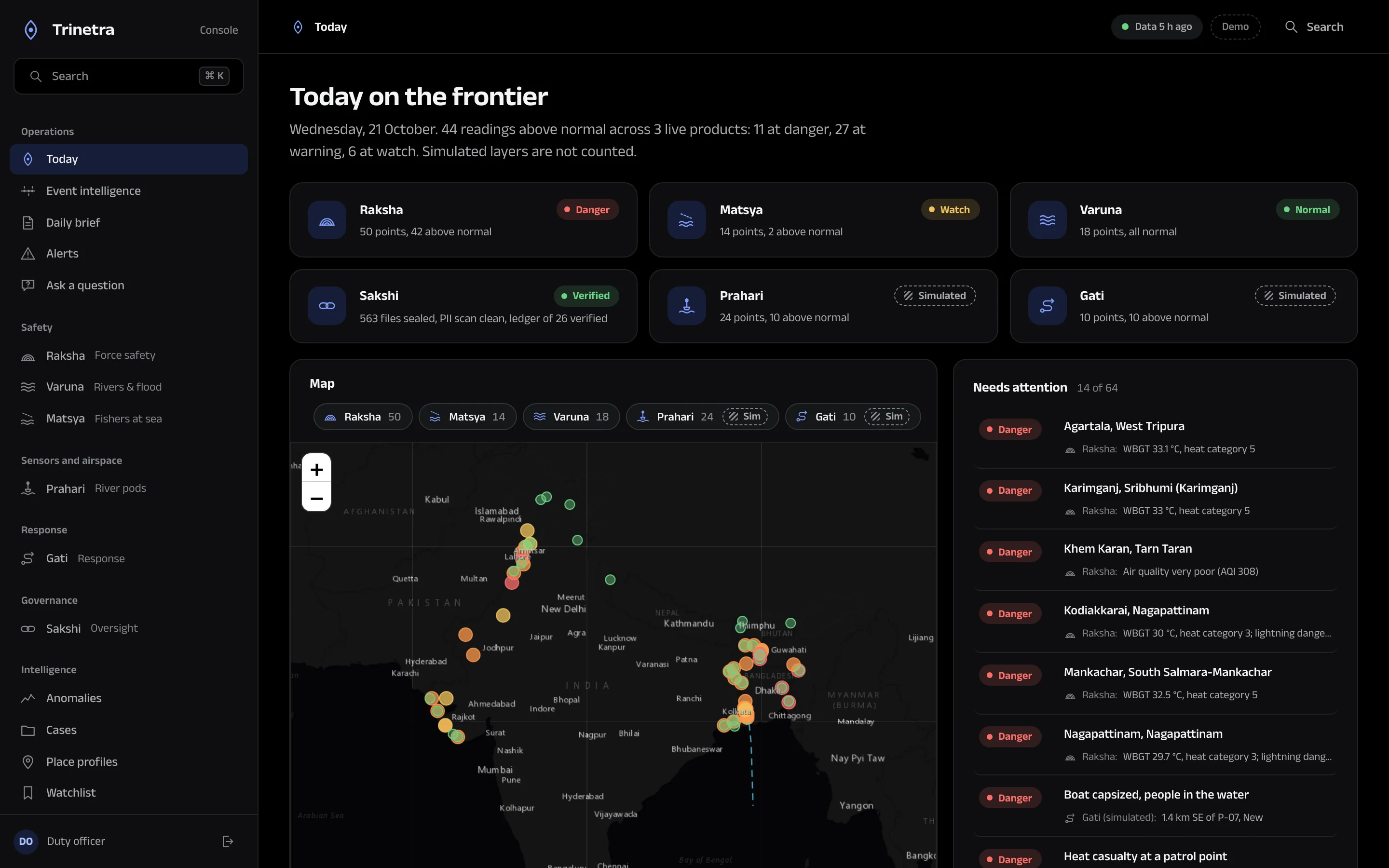
River levels, heat stress, sea state, official alerts and response teams on a single map, with the source and time of every number one click away.
Each river is read against its own 29-year record, so a rise shows up as unusual for the date, days before it becomes a flood.
Brahmaputra at Dhubri, this year over the 1997 to 2025 range. GloFAS via Open-Meteo.
About VarunaRecommendations weigh travel time against wind, rain, river flow and heat, so the fastest team is also a safe one to send.
Areas each team can reach in 5, 10 and 20 minutes. Simulated sector on the Ichamati.
About GatiEvery query, view and decision is sealed into a hash-chained ledger that an auditor or a court can verify line by line.
The first entries of a demonstration ledger. Edit one and every hash after it breaks.
About SakshiFlood, heat, sea-state and official alert advisories for border villages, patrols and fishing harbours, on any phone and in their own language. Advisory only, always pointing to the official warning.
Trinetra analyses events, places and conditions. It does not profile or score any person, and private names in public records are withheld.
Each reading shows where it came from and when. Anything simulated is marked as simulated, everywhere it appears.
Sensitive work needs a declared purpose and a second approver, and every step lands in a ledger anyone with access can verify.
Built on open measurements
Copernicus GloFAS, ECMWF ERA5, Open-Meteo, JRC Global Surface Water, Sentinel-2, NASA FIRMS, USGS, NDMA SACHET, OpenStreetMap and Natural Earth.
Pilots run five to six months on your stretch of river, coast or border, deployed on your own servers, with your team in the room.